
Skip to content
Doç. Dr. Muharrem ÖzdemirUBP Tatlısu Belediye Başkan Adayı · 2026–2030https://muharremozdemir.net/en/projeler/mavi-koridor

Blue Corridor

22 kilometres of coastline will become Tatlısu's shared treasure.

Project 06Nature & TourismYalı NeighborhoodKüçükerenköy

2 neighbourhoods2026–2030 term

On the ground

Where this project is

This project's exact location has not been surveyed yet; it is shown approximately within its neighbourhood.

Tatlısu Belediyesi haritasıKuzey Kıbrıs, Gazimağusa ilçesindeki Tatlısu Belediyesi'nin haritası. Akdeniz kıyısı haritanın sağ üstünden sol alta doğru çapraz iner; kıyının kuzeyi deniz, güneyi karadır. Belediyenin kuzey sınırı kıyı şeridinin kendisidir; kara tarafındaki sınır kesikli gri çizgiyle gösterilir. Yol ağı sınıfına göre dört kalınlıkta çizilmiştir: en kalın çizgi D.10 sahil yolu ve diğer ana yollar, en incesi mahalle içi yollardır. Gri lekeler OpenStreetMap'te kayıtlı yapılaşmış yerleşim alanları, taralı alanlar orman ve makiliktir. Üç mahalle bölgesi, kıyı boyunca batıdan doğuya sırasıyla Küçük Erenköy, ardından iç kesimde Aktunç ve Aktunç'un kuzeybatısında kıyıya yakın Yalı olarak işaretlenmiştir. ÖNEMLİ: Mahallelerin kesikli oval bölgeleri ÖLÇÜLMÜŞ SINIR DEĞİLDİR. OpenStreetMap dahil hiçbir açık kaynakta bu üç mahallenin idari poligonu bulunmamaktadır; ovaller yalnızca mahalle adının hangi yerleşim çevresine ait olduğunu göstermek için çizilmiş temsilî lekelerdir ve kadastro sınırı değildir. Kıyı şeridi, belediye sınırı, yollar, yerleşim alanları, orman, plaj, gölet, arkeolojik sit alanı ve işaretli noktalar OpenStreetMap'ten ölçülmüş gerçek verilerdir. Orman ve yerleşim katmanları OpenStreetMap'in o bölgedeki kapsamı kadardır; eksiksiz bir arazi envanteri değildir. Bu bir kampanya haritasıdır, ölçekli kadastro paftası değildir.AktunçYalıKüçük ErenköyBelediye binasıTatlısu İlkokuluTatlısu CamiiPanagia PergaminiotissaAKDENİZBlue Corridor — approximate location (Yalı neighborhood)Blue Corridor — approximate location (Küçük Erenköy neighborhood)K2 kmKıyı şeridi (= kuzey sınırı)Belediye sınırı (kara)Ana yol (D.10 dâhil)Tali ve mahalle yollarıYerleşim alanı (OSM)Orman ve makilikMahalle bölgesi — temsilî
Boundary, coastline, road and settlement data: © OpenStreetMap contributors (ODbL). Neighborhood areas are representative, not cadastral boundaries. Dashed pins are approximate: only the project's neighborhood is known. Solid pins show measured locations.
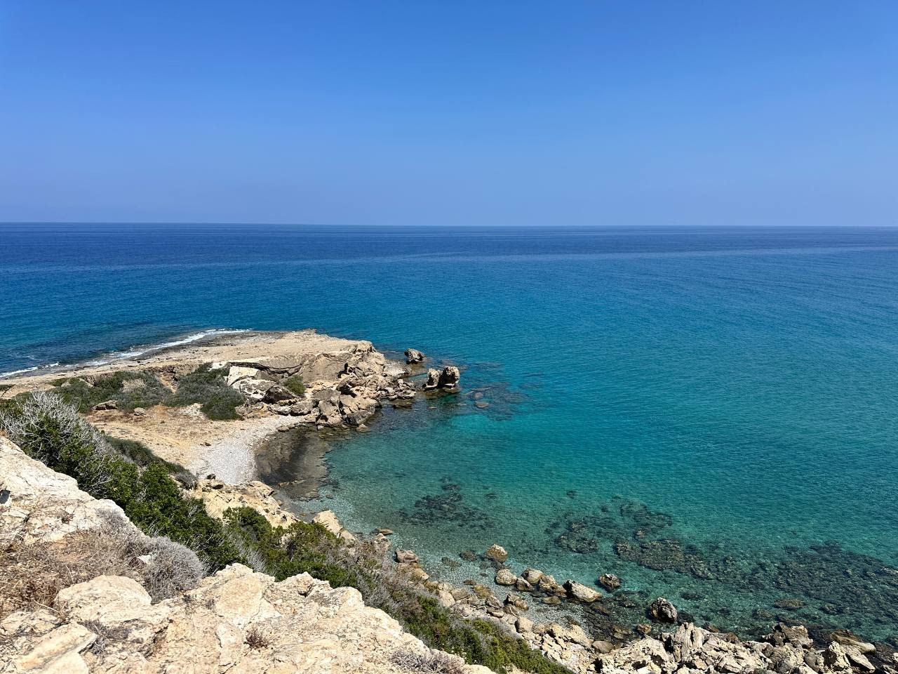
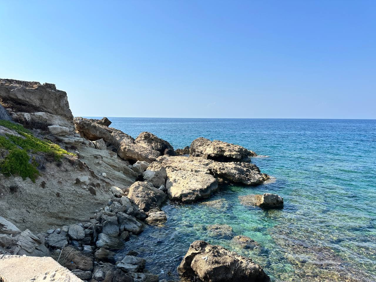
We will protect and bring to life our 22 kilometres of coastline.

One of Tatlısu's greatest riches is its coastline stretching along the Mediterranean.

We see our coastline not merely as a place visited in the summer months, but as part of Tatlısu's life and future.

Our aim is not to cover our shores in concrete;

It is to protect them, care for them, and bring them together with our people.

Our Coastline Belongs to All of Us

We will create walking, resting, viewing and social living spots in suitable areas.

We will strengthen cleanliness, landscaping, signage and accessibility.

You will not need to be a paying customer of a facility to watch the sea.

The Blue Corridor

We will develop a Blue Corridor vision connecting suitable points all along the coast.

Beaches, viewpoints, walking areas, local businesses and natural beauty spots will all be part of the same tourism story.

We Will Win by Protecting the Sea

We will make coastal cleanliness and environmental awareness permanent, and manage the pressure on our shores with the future in mind.

Because;

If we lose our sea, we lose our tourism too.

An Economic Bridge from the Coast to Local Businesses

The Blue Corridor will not be merely an environmental project.

We will guide visitors who come to the coast towards our town centre, our local products, our restaurants and our shopkeepers.

Those who come for the sea will discover Tatlısu too.

We Will Protect Our Sea

We Will Bring Our Coastline to Life

We Will Turn Its Value into Economic Strength

The sea is ours, the coast is ours, and the future belongs to all of us.
Share this project